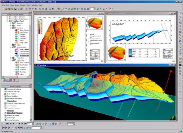
Spatiotemporal mapping in geosciences. Sources of physical knowledge: natural laws, empirical rules, obvious correlations, etc. The principle of maximum entropy for measuring information. Knowledge assimilation through Bayesian statistics. The Bayesian Maximum Entropy (BME) method.
Pollution mapping based solely on statistical moments of measurements. Certain and uncertain data. Data transformations. Analysis of spatial correlation through the covariance function. Confidence intervals and risk assessment. Error mapping and evaluation of an existing sampling network. BME Lib open source applications.
Spatiotemporal mapping with incorporation of the occurring natural law. Stochastic differential equations. Solution with numerical analysis via Matlab and Excel. Applications in underground pollutants transportation and public health.