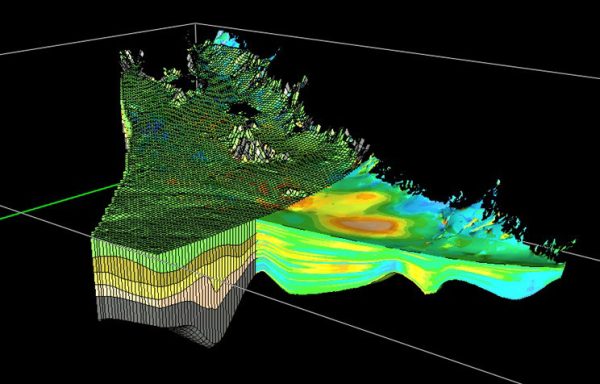
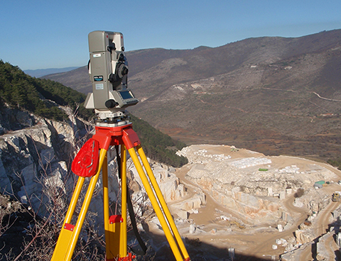
The aim of the course is to introduce mine engineering student to the basic principle, measurements and calculations in Geodesy in addition to modern techniques, instruments and applications. The basic principles about the shape and size of the earth, reference surfaces, Geodetic reference systems and frames, and coordinate systems in geodesy are described. The topographic instruments, measurements of angles, distances, height differences are given. Traversing, calculations in rectangular reference system, measurements in underground environment for azimuths, distances, height differences, mapping methods, topographic plans, sections are provided in addition to Calculation of areas and volumes, Shafts (straight, curved arcs). The general principles of satellite positioning systems (GNSS) as well as state-of-the-art 3D technology and mapping systems, laser scanning, SLAM are discussed. The course is completed with the basic principles for the control of the excavation guidance such as for the geodetic alignment control of a TBM all-front cutting machine.